VISUAL CONSTRUCTION PROGRESS REPORTS
Timelines, Budgets, and Quality Secured.
Our construction site drone and virtual tour solutions offer more than just visuals; they are tools to ensure your project stays on track with timelines, budgets, and quality assurance policies. Whether it's daily, weekly, or monthly site captures, our services provide accurate insights into how your project is progressing. This regular documentation gives you and your stakeholders the confidence that everything is advancing as planned and allows you to address potential issues before they escalate.

Global Positioning System (GPS) Drone Flights.
A powerful tool for construction site and project progression media.
Once the drone has been set up with GPS coordinates on the first visit, it will fly the same route from that date forward.
GPS PHOTOGRAPHY
Highlighting your project’s journey over time.
Our GPS-guided photography captures consistent shots from the same position on two or more different days, allowing you to visually compare the progress of your project over time. These photos provide a straightforward yet powerful way to showcase development and keep stakeholders informed, making it easy to track changes and highlight key milestones.
March 10th 2023 & September 16 2024
July 14th 2024 & August 31st 2024
March 9th 2023 & September 21st 2024

360 VIDEO FLY OR WALK THROUGHS
Our 360° video fly-through or walk-through tours offer a fully immersive way to document your construction site, providing a level of detail beyond what Google Street View can offer. Unlike static 360° images taken several feet apart, our continuous 360° video allows you to move through the site seamlessly. You can even pause to closely inspect specific areas. This flexibility makes our service ideal for monitoring site progress, performing detailed assessments, and accessing hard-to-reach areas, ensuring nothing is missed. With the smooth, uninterrupted movement of the drone, you can navigate restricted or dangerous areas that would be difficult to access on foot.
You Control the Camera!
Move the video with your mouse or finger – you control the camera! Pause at any moment for a closer 360-degree inspection, just like Google Street View.
On mobile devices, simply tap anywhere on the darkened screen while paused to gain control of the camera.
These videos are private, visible only to you and those you choose to share them with.
SPLIT-SCREEN 360 VIRTUAL TOURS
Explore every angle on two separate days.
Our split-screen 360° virtual tours offer an immersive view of your construction site on two different days, allowing you to seamlessly compare progress. By using a simple slider, you can transition between dates while exploring every angle—from aerial views to ground-level perspectives. This advanced approach provides a richer understanding of your site’s progress compared to traditional photos.
We customize virtual tours based on the size and scope of your project, ensuring a tailored solution that meets your needs. Interested in seeing it in action? Contact us today for a demonstration!

PHASE-TO-PHASE MILESTONE VIDEOS
Highlighting progress at every milestone.
Phase-to-Phase Milestone Videos are designed to showcase the progress of your project by capturing footage on two or more different days and seamlessly blending them into a visually stunning presentation. Perfect for promoting your work and impressing stakeholders, these videos highlight key milestones and celebrate the evolution of your project.
Perfect for presentation videos, showcasing progress at every key milestone.
ORTHOMOSAIC MAPS
A Comprehensive View of Your Construction Site
Orthomosaic Progress Maps, created by stitching together hundreds of high-resolution aerial photos, provide an unparalleled way to monitor the evolution of your construction site. These seamless, detail-rich maps combine images from two different days, offering a clear and comprehensive view of your site’s development.
With the split-screen slider, you can effortlessly compare progress between dates, quickly identify advancements, spot potential issues, and stay fully informed at every stage of your project. It’s the ultimate tool for visualizing and managing site progress with precision.
June 1st & September 1st 2024
July 17th & September 1st 2024
July 27th 2024
TIME-LAPSE
Hours, Days, Months, Even Years — One Frame at a Time.
Time-lapse photography offers construction companies a powerful way to monitor progress and showcase their expertise. By capturing thousands of images over hours, days, months, or even years, this technique transforms individual moments into a seamless video that vividly documents the entire process. These visually engaging videos not only help track progress, identify issues, and ensure timelines are met but also serve as compelling marketing tools, showcasing efficiency and professionalism to potential clients in a truly remarkable way.
Scenes of Vancouver
Vya Road Bridge Constuction
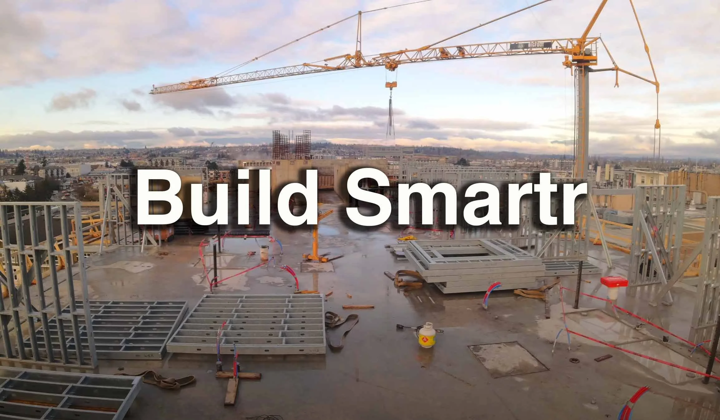
Build Smartr - Build with Steel


